Routes by terrain
Coast path running routes
The South West Coast Path does most of the work on this site. It is waymarked and easy enough to follow, but never flat: it climbs in and out of every cove, mixes granite steps, greasy slate and wet grass, and leaves you exposed to whatever the Atlantic is doing. Distance is a poor guide to effort here.
15 routes, shortest first. Every page carries its own verification status, so you can see what has been run and what is still desk-researched.

Mapped route line
Coast path
Charlestown to Carlyon Bay
Tall-ship harbour walls to the long sands at Crinnis, on a cliff path that keeps it brief and honest.
- Distance
- 5.2 km
- Gain
- 160 m
Desk-researched
Mapped route line
Coast path
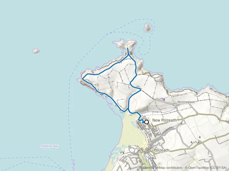
Pentire Head and The Rumps Loop
Iron Age ramparts on twin headlands, with Polzeath's surf crowd left far below.
- Distance
- 6.0 km
- Gain
- 281 m
Desk-researched

Mapped route line
Coast path
Crantock and Pentire Point West Loop
A small headland with big output: Crantock beach, Porth Joke and the Gannel's shifting sands.
- Distance
- 6.5 km
- Gain
- 151 m
Desk-researched

Mapped route line
Coast path
Port Isaac to Port Quin
Four kilometres each way, and none of them level: the coast path's steepest little stretch outside the far west.
- Distance
- 6.5 km
- Gain
- 198 m
Desk-researched

Mapped route line
Coast path
Perranporth to St Agnes Coast Path
Mining cliffs between two beach towns: airfield heath, Blue Hills valley and paths cut past old shafts.
- Distance
- 6.6 km
- Gain
- 234 m
Desk-researched

Mapped route line
Coast path
Marazion to Perranuthnoe Coast Path
St Michael's Mount over your shoulder the whole way to Perranuthnoe and back.
- Distance
- 6.8 km
- Gain
- 95 m
Desk-researched
Mapped route line
Coast path
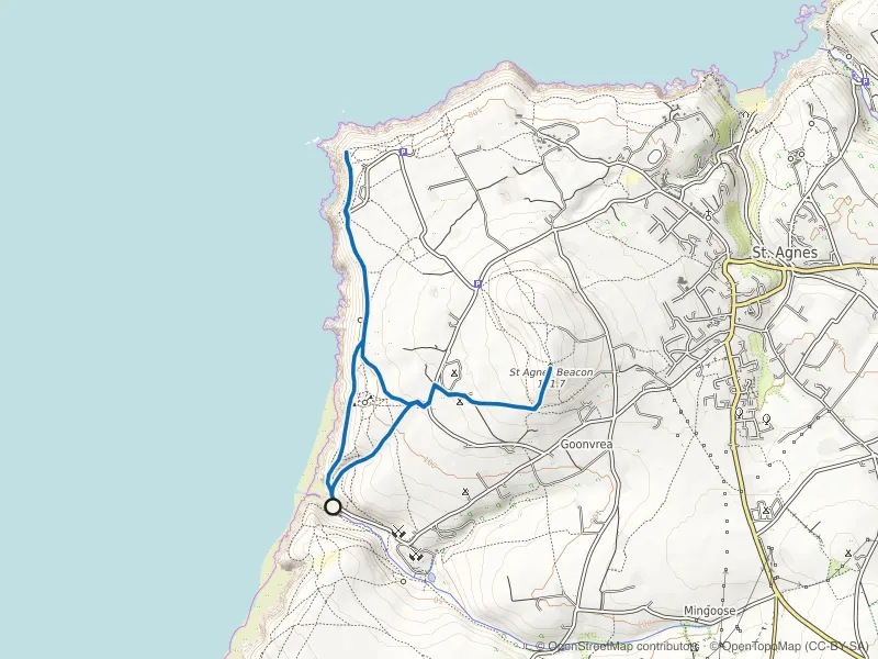
Chapel Porth and St Agnes Beacon Loop
Wheal Coates' engine house, heather to the Beacon's trig point, and a cove where the tide sets the timetable below.
- Distance
- 6.8 km
- Gain
- 245 m
Desk-researched

Mapped route line
Coast path
Tintagel to Boscastle Coast Path
Castle island to witch-harbour: slate stacks, Rocky Valley's cut and cliff steps the profile smooths over.
- Distance
- 7.2 km
- Gain
- 168 m
Desk-researched

Mapped route line
Coast path
Lizard Point and Kynance Cove Loop
Mainland Britain's southern tip and the serpentine cliffs to Kynance, looped back over the downs.
- Distance
- 7.6 km
- Gain
- 145 m
Desk-researched

Mapped route line
Coast path
Looe to Polperro Coast Path
Hannafore's seafront, then three valleys' worth of steps to Polperro's tangle of a harbour.
- Distance
- 7.7 km
- Gain
- 185 m
Desk-researched
Recorded route line
Coast path
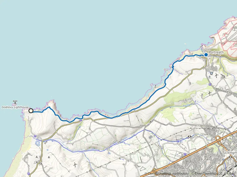
Godrevy to Portreath Coast Path
Cliff-top running past seal colonies and old engine houses, with wind that has an opinion.
- Distance
- 10.0 km
- Gain
- 151 m
Field checked

Mapped route line
Coast path
Rame Head Loop from Cawsand
A short, lumpy loop past a clifftop chapel with Whitsand Bay stretched out below.
- Distance
- 10.3 km
- Gain
- 280 m
Desk-researched

Recorded route line
Coast path
Zennor to St Ives Coast Path
Granite boulders, sheep fields and stone stiles along the hardest short stretch of coast path in the far west.
- Distance
- 10.7 km
- Gain
- 304 m
Field checked

Mapped route line
Coast path
Newquay to Watergate Bay
Surf-town headlands to the long sweep of Watergate, above beaches that vanish at high tide.
- Distance
- 12.6 km
- Gain
- 229 m
Desk-researched

Recorded route line
Coast path
St Just to St Ives Coast Path
A full day on the far west's mining coast: engine houses, boulder fields and thirty kilometres of ground that never settles.
- Distance
- 30.0 km
- Gain
- 882 m
Verified
By terrain