Routes by region
Running routes in Bodmin Moor
Inland and high: granite tors, open moor and the wooded river valleys that drain it. Navigation matters here in a way it does not on the waymarked coast, and the ground holds water. This is where to run when the coast path is too exposed, provided you can read a map in mist.
3 routes, shortest first. Every page carries its own verification status, so you can see what has been run and what is still desk-researched.

Mapped route line
Woodland
Golitha Falls and Draynes Wood
A short out-and-back to the Fowey cascades — a beauty spot more than a training run.
- Distance
- 3.5 km
- Gain
- 75 m
Desk-researched
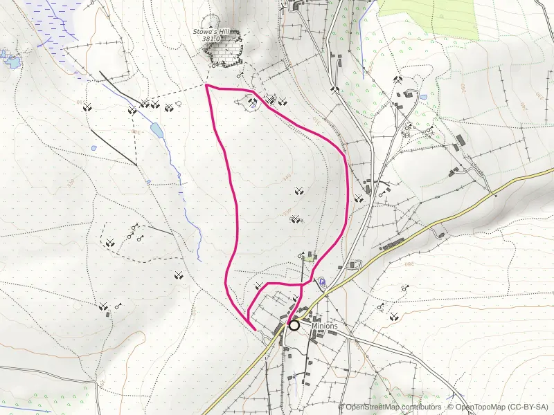
Mapped route line
Trail
Minions and The Cheesewring Loop
Stone circles, a balanced granite tor and quarry tramways from Cornwall's highest village.
- Distance
- 3.5 km
- Gain
- 48 m
Desk-researched

Mapped route line
Woodland
Cardinham Woods Loop
Forestry gravel and streamside shade: the loop for days the coast is unrunnable.
- Distance
- 9.5 km
- Gain
- 244 m
Desk-researched
By region