Routes by terrain
Multi-use path running routes
Old railway lines and traffic-free trails, the Camel Trail chief among them. Flat, well-surfaced and shared with walkers and bikes: the best ground on the site for steady efforts, newer runners, buggies, or getting back to the car without a single stile.
2 routes, shortest first. Every page carries its own verification status, so you can see what has been run and what is still desk-researched.
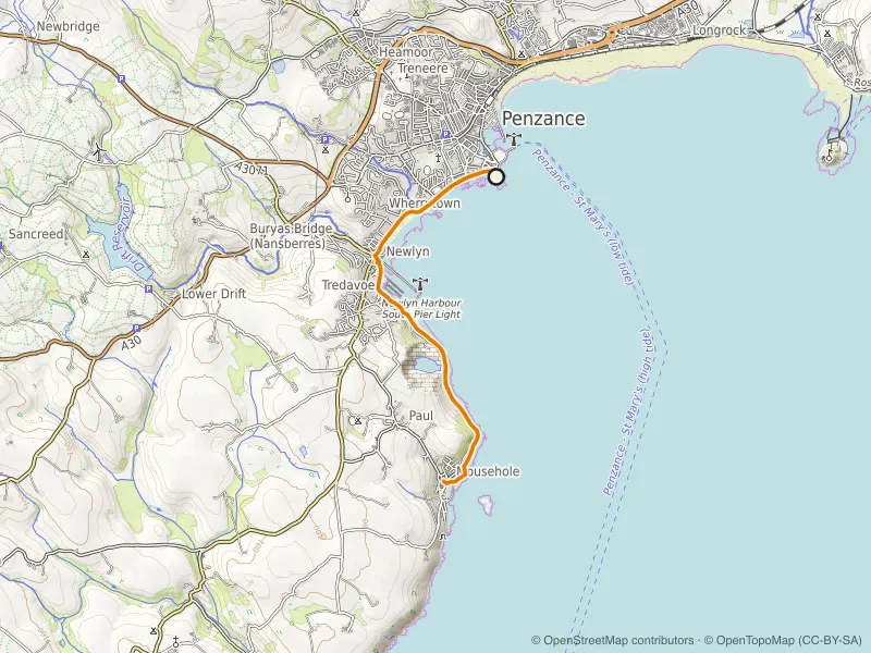
West Cornwall
Mapped route line
Multi-use path
Multi-use pathEasy
Penzance Prom to Mousehole
The flattest miles in west Cornwall: prom, harbour fronts and the coast road to Mousehole.
- Distance
- 10.6 km
- Gain
- 66 m
Desk-researched
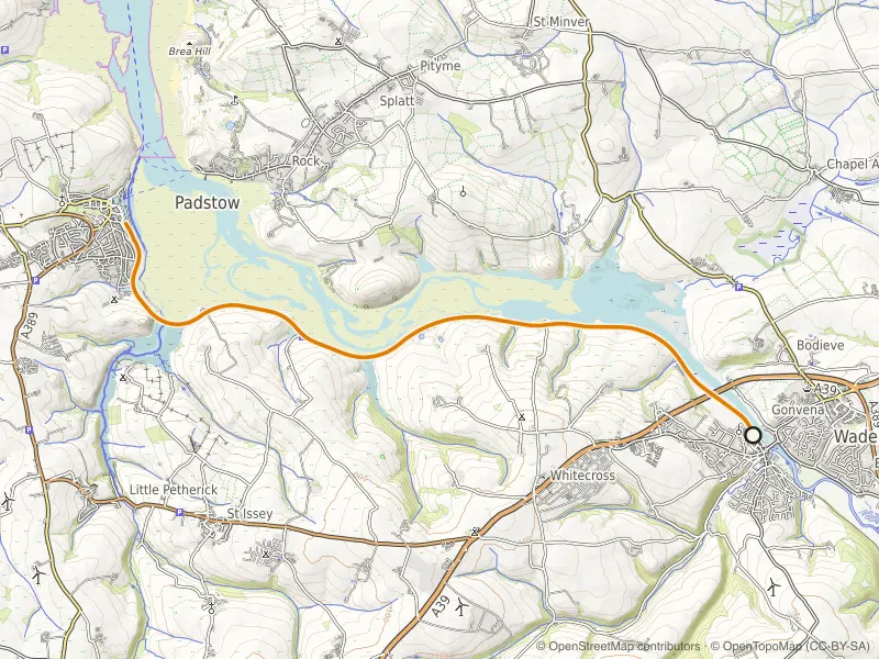
North Coast
Mapped route line
Multi-use path
Multi-use pathEasy
Camel Trail: Wadebridge to Padstow
A flat out-and-back on the old railway line beside the Camel estuary, built for steady miles.
- Distance
- 17.2 km
- Gain
- 66 m
Desk-researched
By terrain