Routes by region
Running routes in North Coast
Cornwall's Atlantic edge, and the bulk of the route library. This is exposed South West Coast Path running: granite and slate cliff, one headland after another, and wind that sets your pace as much as your legs do. Expect sharp steps down to cove level and straight back up, next to no shade, and few bail-out points once you have committed between villages.
11 routes, shortest first. Every page carries its own verification status, so you can see what has been run and what is still desk-researched.

Mapped route line
Woodland
Tehidy Trail
The waymarked Tehidy Trail traced end to end: a traffic-free 4.2km run across the park from Coombe to East Lodge on bridleways and estate tracks.
- Distance
- 4.2 km
- Gain
- 68 m
Desk-researched
Mapped route line
Coast path
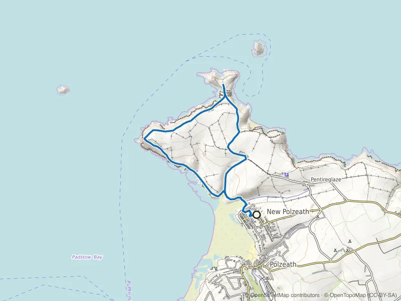
Pentire Head and The Rumps Loop
Iron Age ramparts on twin headlands, with Polzeath's surf crowd left far below.
- Distance
- 6.0 km
- Gain
- 281 m
Desk-researched

Mapped route line
Coast path
Crantock and Pentire Point West Loop
A small headland with big output: Crantock beach, Porth Joke and the Gannel's shifting sands.
- Distance
- 6.5 km
- Gain
- 151 m
Desk-researched

Mapped route line
Coast path
Port Isaac to Port Quin
Four kilometres each way, and none of them level: the coast path's steepest little stretch outside the far west.
- Distance
- 6.5 km
- Gain
- 198 m
Desk-researched

Mapped route line
Coast path
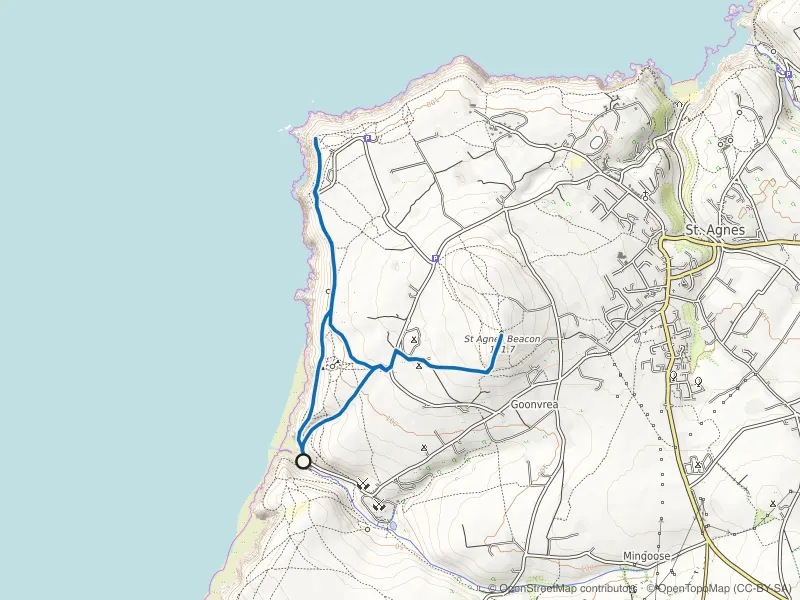
Perranporth to St Agnes Coast Path
Mining cliffs between two beach towns: airfield heath, Blue Hills valley and paths cut past old shafts.
- Distance
- 6.6 km
- Gain
- 234 m
Desk-researched
Mapped route line
Coast path
Chapel Porth and St Agnes Beacon Loop
Wheal Coates' engine house, heather to the Beacon's trig point, and a cove where the tide sets the timetable below.
- Distance
- 6.8 km
- Gain
- 245 m
Desk-researched

Mapped route line
Coast path
Tintagel to Boscastle Coast Path
Castle island to witch-harbour: slate stacks, Rocky Valley's cut and cliff steps the profile smooths over.
- Distance
- 7.2 km
- Gain
- 168 m
Desk-researched
Recorded route line
Coast path
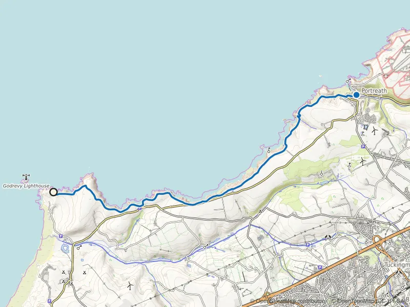
Godrevy to Portreath Coast Path
Cliff-top running past seal colonies and old engine houses, with wind that has an opinion.
- Distance
- 10.0 km
- Gain
- 151 m
Field checked

Mapped route line
Trail
Bude Canal and Compass Point Loop
Towpath calm out to Helebridge, then sea cliffs and the eight-sided tower home: Bude's two speeds in one loop.
- Distance
- 11.1 km
- Gain
- 176 m
Desk-researched

Mapped route line
Coast path
Newquay to Watergate Bay
Surf-town headlands to the long sweep of Watergate, above beaches that vanish at high tide.
- Distance
- 12.6 km
- Gain
- 229 m
Desk-researched

Mapped route line
Multi-use path
Camel Trail: Wadebridge to Padstow
A flat out-and-back on the old railway line beside the Camel estuary, built for steady miles.
- Distance
- 17.2 km
- Gain
- 66 m
Desk-researched
By region