Routes by region
Running routes in West Cornwall
The far granite west, from the St Ives coast round toward Land's End and the Penwith moors. Older, rougher ground: mining cliff, boulder steps and coast path that stays technical long after the distance says it should ease off. This is some of the most committing running on the site.
5 routes, shortest first. Every page carries its own verification status, so you can see what has been run and what is still desk-researched.

Mapped route line
Coast path
Marazion to Perranuthnoe Coast Path
St Michael's Mount over your shoulder the whole way to Perranuthnoe and back.
- Distance
- 6.8 km
- Gain
- 95 m
Desk-researched
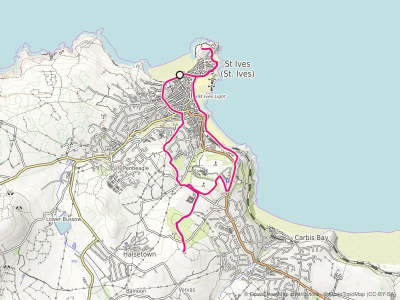
Mapped route line
Trail
St Ives Island and Knill's Monument Loop
Town streets, chapel headland and a granite obelisk on the hill: St Ives condensed into one climbing loop.
- Distance
- 8.5 km
- Gain
- 254 m
Desk-researched

Mapped route line
Multi-use path
Penzance Prom to Mousehole
The flattest miles in west Cornwall: prom, harbour fronts and the coast road to Mousehole.
- Distance
- 10.6 km
- Gain
- 66 m
Desk-researched

Recorded route line
Coast path
Zennor to St Ives Coast Path
Granite boulders, sheep fields and stone stiles along the hardest short stretch of coast path in the far west.
- Distance
- 10.7 km
- Gain
- 304 m
Field checked

Recorded route line
Coast path
St Just to St Ives Coast Path
A full day on the far west's mining coast: engine houses, boulder fields and thirty kilometres of ground that never settles.
- Distance
- 30.0 km
- Gain
- 882 m
Verified
By region