St Ives Island and Knill's Monument Loop
West Cornwall · Trail · Loop · Moderate
45 min – 1 hr 15 min · St Ives, Porthmeor Beach → St Ives, Porthmeor Beach
Desk-researched — not yet run on the ground
Elevation profile
254 m gain · high 161 m
Hover or use arrow keys to read the profile
1 m – 161 m
Line mapped on a filtered walking graph that keeps to paths and quiet lanes and treats fast or classified roads as cross-only (scripts/walk-graph.mjs); elevation from EU-DEM 25 m. Not from a recorded run.
Mapped from OpenStreetMap footpaths on the OpenTopoMap contour map — a planning line, not a recorded run.
- Distance
- 8.5 km
- Climb
- 254 m
- Per km
- 30 m
- On foot
- 45 min – 1 hr 15 min
- Line
- Mapped
A loop that samples everything St Ives does — round the chapel on the Island, along the harbour front, past Porthminster's palms and up to Knill's Monument on Worvas Hill, then back down through the lanes to Porthmeor. Short, but the hill is not a rumour.
Getting there and back
The branch line from St Erth drops you at Porthminster, right on the route.
Parking
Park at Trenwith above the town and jog down; the harbour car parks fill first and cost more.
Conditions
Pavement, cobbles and tarmac path, with one grassy headland and a stiff road climb to the monument.
Navigation
Signage barely matters: uphill for the monument, downhill for the sea, and the Island is the lump with the chapel on it.
Season
A year-round loop where the constraint is people, not weather. In August, run it before breakfast or not at all.
Dogs
Fine at dawn, hard work through town by mid-morning. Seasonal beach bans apply on the sand sections.
Good for
- Holiday-base running from the door
- A hill session dressed as sightseeing
- Early starts before the town wakes
Watch for
- Harbour front solid with people from mid-morning in season
- Cobbles and painted slipways that turn slick in drizzle
- Road crossings on the climb to the monument
On the ground
- Everything St Ives has
- Toilets at Porthmeor and the harbour
- Water fountains along the wharf
GPX download
The line on this page is mapped from OpenStreetMap paths, not a recorded run. Treat the file as a planning aid and check it against conditions on the ground.
Download GPXMore ground nearby
Browse all routes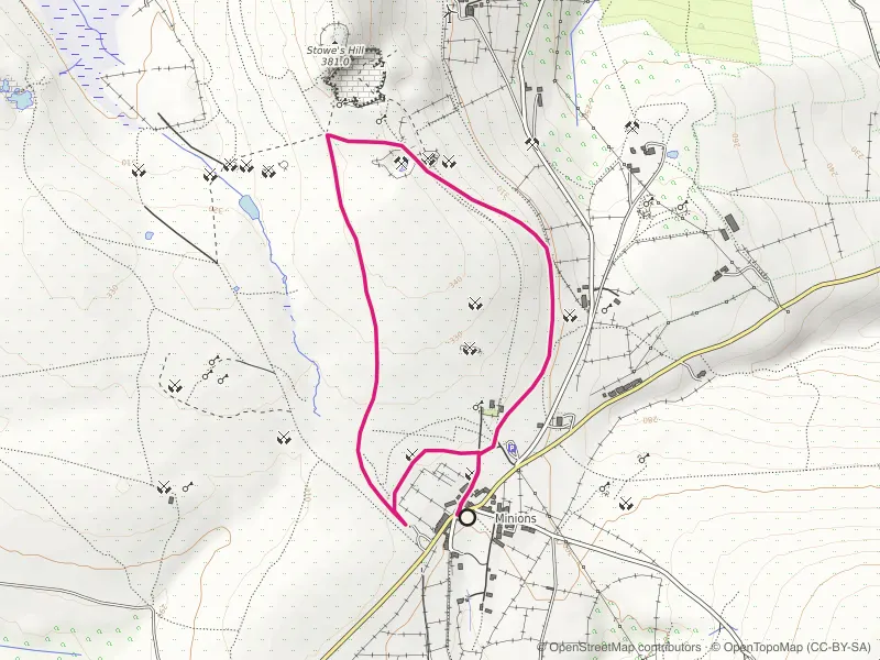
Mapped route line
Trail
Minions and The Cheesewring Loop
Stone circles, a balanced granite tor and quarry tramways from Cornwall's highest village.
- Distance
- 3.5 km
- Gain
- 48 m
Desk-researched

Mapped route line
Trail
Lanhydrock and Respryn Loop
Beech avenues, parkland tracks and a medieval river bridge, sheltered from whatever the coast is doing.
- Distance
- 6.2 km
- Gain
- 155 m
Desk-researched

Mapped route line
Coast path
Marazion to Perranuthnoe Coast Path
St Michael's Mount over your shoulder the whole way to Perranuthnoe and back.
- Distance
- 6.8 km
- Gain
- 95 m
Desk-researched