Data · 13 July 2026
Cornwall's climbing ceiling: how flat is it, really?
The route data puts a number on it. The highest point is 339 m, the biggest unbroken climb is about 160 m, and the county banks its vertical in tiny bites — which is why hill training here means repetition.
Behind the hill-rep piece is a simple question: exactly how flat is Cornwall for a runner? Our route data, measured off recorded and mapped lines rather than guessed, gives a clean answer.
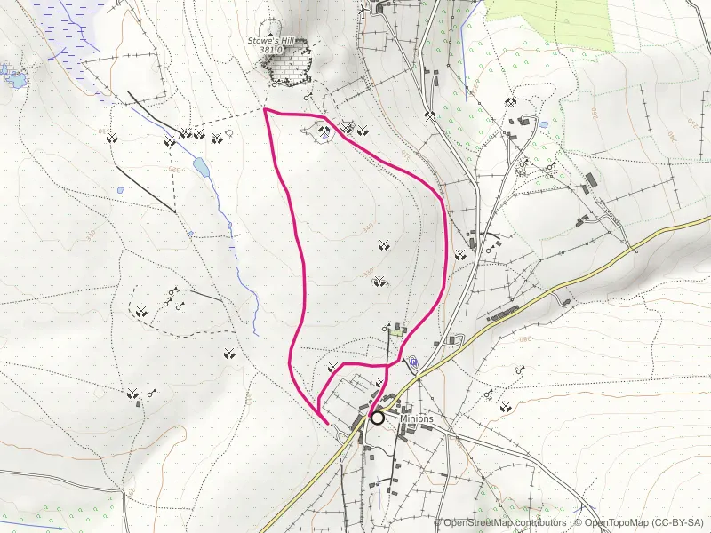
The highest point on any route in the directory is 339 metres, on the Cheesewring plateau above Minions on Bodmin Moor. Everything on the coast — the ground most people actually run — lives below 200. There is no route here that reaches even half the height of a Lakeland fell.
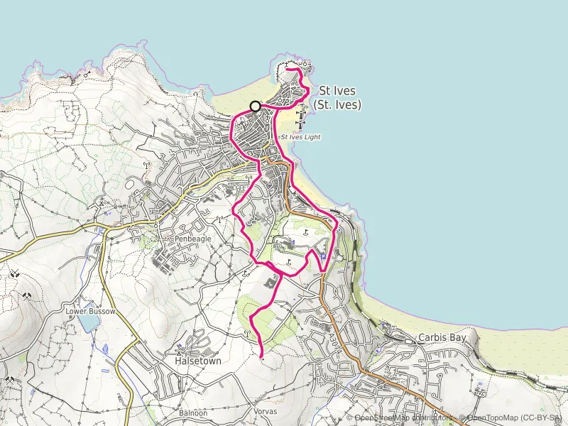
Height isn't the same as climb, though, and climb is what a hilly race asks for. The more telling figure is the biggest single, unbroken ascent anywhere in the data: about 160 metres, from sea level up to Knill's Monument above St Ives, with the Chapel Porth-to-Beacon pull close behind. That's barely half of one 1,000-foot Lakeland climb — and a race like the Lakeland 50 strings a dozen of those together, back to back. You cannot rehearse that grind on Cornish ground. It doesn't exist here.
What Cornwall does have is climb by accumulation. The coast path never stops rising and falling, and the totals add up fast in tiny increments — the steepest routes here average well over 40 metres of climb per kilometre, but in twenty- and thirty-metre bites, never a sustained pull. The full ranking is in Cornwall's coast path routes by climb per kilometre.
So the training answer writes itself. For sheer vertical and for descending on wrecked legs, repetition on the sharpest coast you can find does the job — which is exactly what the hill-rep spots are for. For the one thing Cornwall genuinely can't teach — the long, unrelenting mountain climb — you have to leave the county, and know that going in.
On the ground
Routes this piece leans on
Mapped route line
Trail
Minions and The Cheesewring Loop
Stone circles, a balanced granite tor and quarry tramways from Cornwall's highest village.
- Distance
- 3.5 km
- Gain
- 48 m
Desk-researched
Mapped route line
Trail
St Ives Island and Knill's Monument Loop
Town streets, chapel headland and a granite obelisk on the hill: St Ives condensed into one climbing loop.
- Distance
- 8.5 km
- Gain
- 254 m
Desk-researched
Mapped route line
Coast path
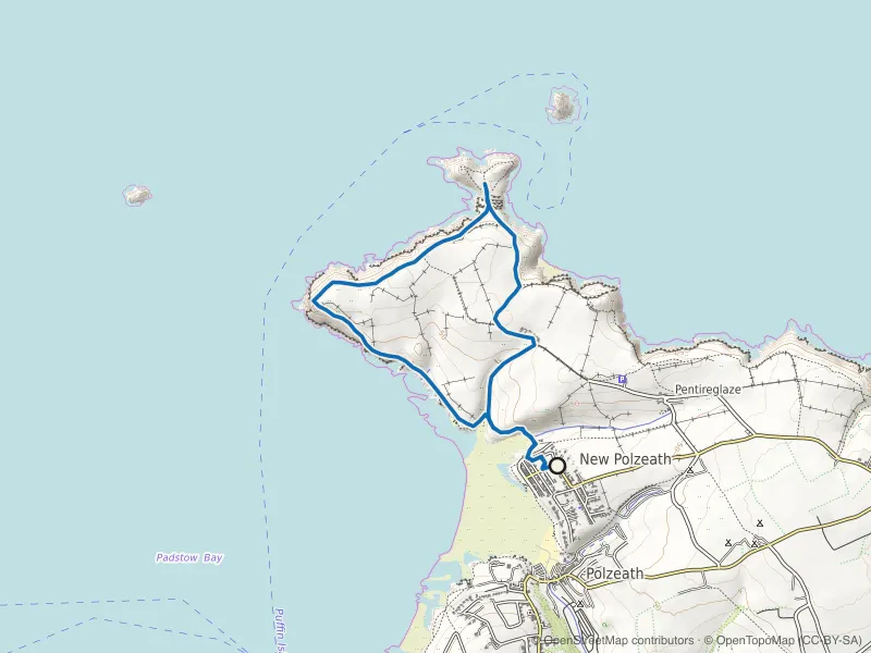
Pentire Head and The Rumps Loop
Iron Age ramparts on twin headlands, with Polzeath's surf crowd left far below.
- Distance
- 6.0 km
- Gain
- 281 m
Desk-researched