Race notes · 13 July 2026
Finding hills in Cornwall: training for a mountain ultra where there aren't any
Cornwall has no sustained climbs, so training for the Lakeland 50 meant hunting down the few spots where you can bank vertical by repetition. Two that earned their place, with parking pinned.
A mountain ultra is decided on the long climbs, and Cornwall doesn't have any. The highest point anywhere in this site's route data is 339 metres, at the Cheesewring on Bodmin Moor, and the highest thing on the coast barely clears 200. There is no unbroken, thousand-foot grind to be found here — not one. So training for the Lakeland 50, where you climb something like that a dozen times over, meant a different problem: not finding a mountain, but finding ground where you can rack up the vertical by repetition, close to parking, without driving to Dartmoor every weekend.
It took some research and some exploring. Two spots earned a place in the rotation. Both are on the north coast, both are near free-to-cheap parking, and both punish you in short, sharp doses rather than one long one — which, it turns out, is not the worst way to prepare for a race run on tired legs and bad footing.
North Cliffs and Carvannel Downs — “The Bitches”
The stretch of the North Cliffs around Carvannel Downs is, aptly, known locally as The Bitches: a run of steep ups and downs in quick succession where the coast path drops into a cove and climbs straight back out, over and over. Nothing here goes above 82 metres — but a single session of repeats across the section put 703 metres of climb into ten kilometres, none of it flat. It is a vertical machine disguised as a coast path.
Parking is free along the north-coast road, in the laybys above the cliffs. I deliberately parked a little further out than I needed to, so I could jog in and get a proper warm-up before hitting the reps — worth doing, because these climbs start cold and steep. The surface is the real test: crumbly and loose when it's dry, greasy and slick when it's wet, never once a smooth gradient. You run it back and forth, treating each climb as a rep.
For extra vertical there is a rope climb down to the beach on this section. It is very remote, and the climb should not be attempted alone — and not at all if the sea is rough or the tide is coming in. Treat it as a serious commitment, not a novelty. If in any doubt, stay on the cliff top and do another rep.
Chapel Porth and St Agnes Beacon
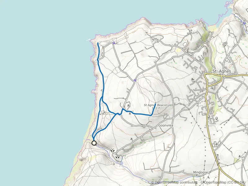
The other spot is the ground around St Agnes Beacon, the 192-metre hill above the old mining coast. To wring the most climb out of it, start down at Chapel Porth beach, head north onto the coast path, then turn north-east and grind up to the Beacon — it takes a short section of road to link, but it buys you the longest continuous pull the area has. There's paid parking at Chapel Porth beach car park, which fills fast in peak season; the National Trust car park at Wheal Coates, just up the hill, is the fallback.
On the session mapped below I worked the ground closer to the top, running up and down either side of the cove: the climbing here is varied and endlessly technical, lots of short, sharp pitches rather than one clean ascent — 920 metres of climb in twelve kilometres, topping out on the Beacon each lap. It's the same coast our Chapel Porth and St Agnes Beacon loop covers, run as reps instead of a circuit.
What reps can and can't do for you
You cannot fake a thirty-minute mountain climb on ground that tops out at 200 metres — the sustained-effort side of it, the slow burn where you learn to keep moving when a climb simply won't end, has to come from elsewhere, on the biggest hills you can reach. But everything else transfers. The vertical adds up honestly, the descending punishes your quads exactly the way race day will, and Cornwall's crumbling, technical footing is arguably better schooling for tired-legged foot placement than a smooth motorway of a climb. The St Just to St Ives run report is what that training was pointing at; the numbers behind the flatness are in Cornwall's climbing ceiling.
On the ground
Routes this piece leans on
Mapped route line
Coast path
Chapel Porth and St Agnes Beacon Loop
Wheal Coates' engine house, heather to the Beacon's trig point, and a cove where the tide sets the timetable below.
- Distance
- 6.8 km
- Gain
- 245 m
Desk-researched
Mapped route line
Coast path
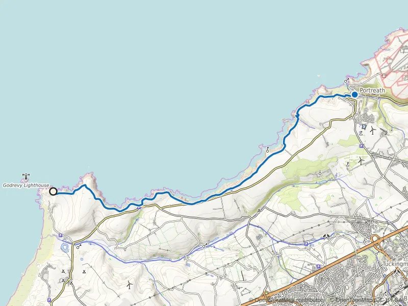
Godrevy to Portreath Coast Path
Cliff-top running past seal colonies and old engine houses, with wind that has an opinion.
- Distance
- 9.9 km
- Gain
- 212 m
Desk-researched