Cardinham Woods Loop
Bodmin Moor · Woodland · Loop · Easy
30 min – 50 min · Cardinham Woods car park → Cardinham Woods car park
Desk-researched — not yet run on the ground
Elevation profile
244 m gain · high 179 m
Hover or use arrow keys to read the profile
55 m – 179 m
Line mapped on a filtered walking graph that keeps to paths and quiet lanes and treats fast or classified roads as cross-only (scripts/walk-graph.mjs); elevation from EU-DEM 25 m. Not from a recorded run.
Mapped from OpenStreetMap footpaths on the OpenTopoMap contour map — a planning line, not a recorded run.
- Distance
- 9.5 km
- Climb
- 244 m
- Per km
- 26 m
- On foot
- 30 min – 50 min
- Line
- Mapped
A valley loop through Cardinham's working forest near Bodmin, following the Lady Vale trail line along the stream and back on forestry road. Nothing here is dramatic, which on the right day is exactly the appeal.
Getting there and back
Bodmin's buses get within a couple of road kilometres; realistically this is a drive-to run.
Parking
The Forestry England car park is pay-and-display and comfortably large outside school-holiday weekends.
Conditions
Compacted forestry road and firmer single-track, with the streamside line the muddiest stretch in winter.
Navigation
Waymarked trails leave little to solve; this route follows the valley out and the forest road home.
Season
The wet-weather banker. Autumn colour is the bonus round; February mud on the streamside stretch is the toll.
Dogs
One of the easiest dog runs in Cornwall — good surfaces, water on tap in the stream, leads near the cafe and bike lines.
Good for
- Gale-day running under real shelter
- Buggy-adjacent family miles
- An honest easy day between hard coast efforts
Watch for
- Mountain bikes on the shared and crossing trails
- Storm debris on the paths after big blows
- The valley floor holds standing water after sustained rain
On the ground
- Pay car park with toilets
- Woods cafe by the trailhead, seasonal hours
GPX download
The line on this page is mapped from OpenStreetMap paths, not a recorded run. Treat the file as a planning aid and check it against conditions on the ground.
Download GPXMore ground nearby
Browse all routes
Mapped route line
Woodland
Golitha Falls and Draynes Wood
A short out-and-back to the Fowey cascades — a beauty spot more than a training run.
- Distance
- 3.5 km
- Gain
- 75 m
Desk-researched
Mapped route line
Trail
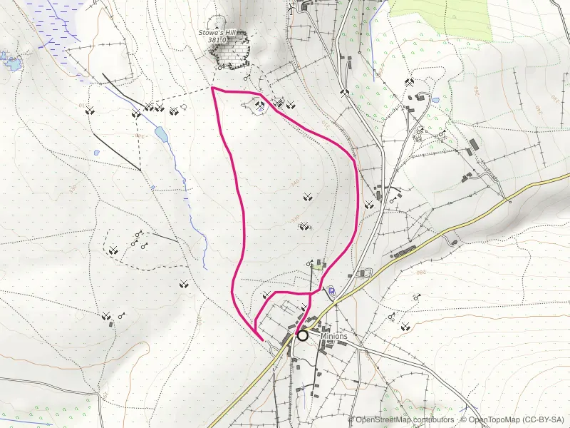
Minions and The Cheesewring Loop
Stone circles, a balanced granite tor and quarry tramways from Cornwall's highest village.
- Distance
- 3.5 km
- Gain
- 48 m
Desk-researched

Mapped route line
Woodland
Tehidy Trail
The waymarked Tehidy Trail traced end to end: a traffic-free 4.2km run across the park from Coombe to East Lodge on bridleways and estate tracks.
- Distance
- 4.2 km
- Gain
- 68 m
Desk-researched